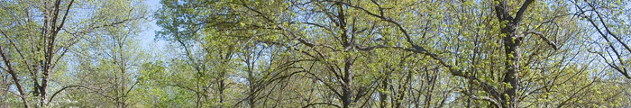
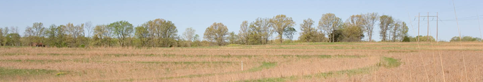
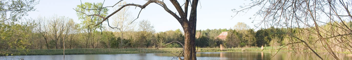
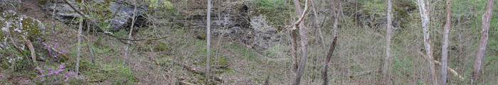
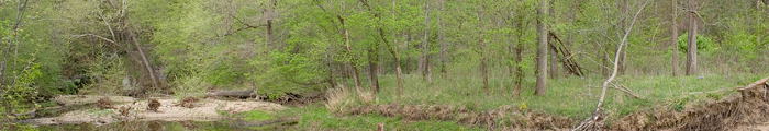
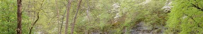
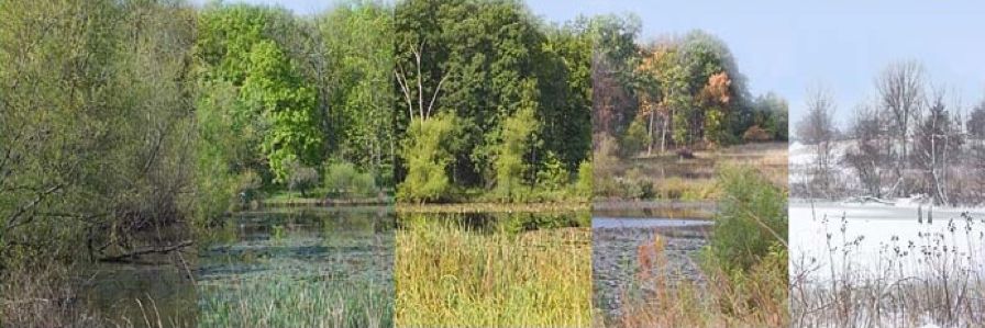
This project documents the natural and man-made habitat changes over time at the Prairie Garden Trust in photos taken from the same locations.
Henry Domke started it in spring 2006. Floods, storms, natural growth, plantings, cuttings, new construction…lots of things continue to change the scenes. One post washed away in flooding along Hillers Creek.
There are about 23 Photo-stations. To see images from a given station on the map below, click the white numbered circles. The text should turn red when you are on top of a number. Once you are on the page press “View Slideshow.” Once you’re on the gallery for a particular post, the slideshow will begin. If you click on a particular year’s image, the show will move to that and pause, then begin from that year’s image.
Last updated 4/5/20
Photo-station Map
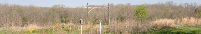
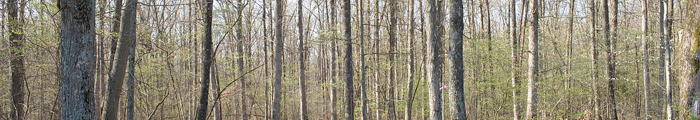
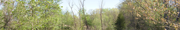
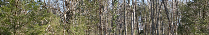
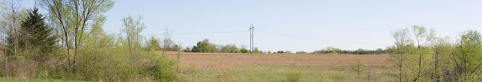
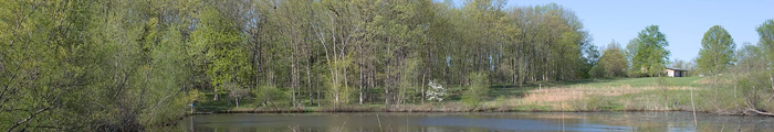
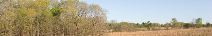
Post 1 - West of PGT Center
Near the PGT Center looking northwest. At one time, there was a demo garden and wooden archway there, but that was before the PGT became a public nature garden with paved parking areas, entrance drive and enhanced PGT Center gardens.
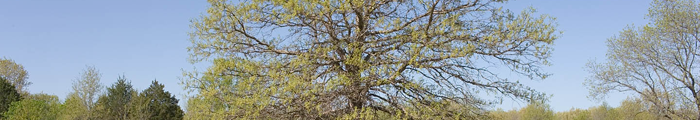
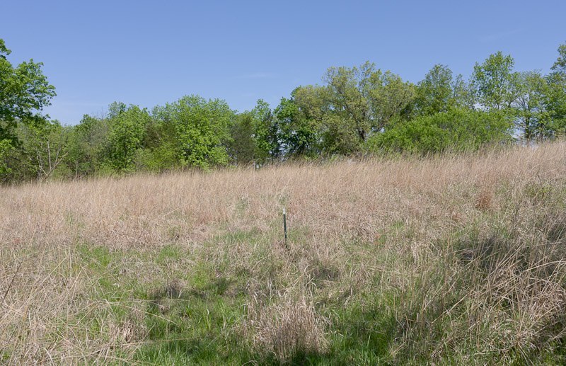
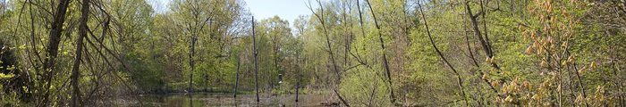
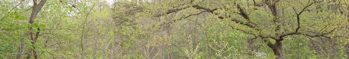
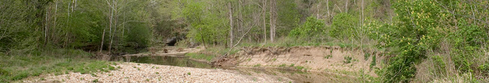
The Swamp White Oak (Quercus bicolor) is at the edge of one of the first prairie plantings done in 1986. It's south of the PGT Center. You'll pass it as you walk the mowed trail towards Hillers Creek.
In the map above, the white Circles are the Photo-stations. To see images from a given location, move the cursor over the white circle and click when the number turns red. The red arrow coming out of each circle shows the diraction the camera points